Hike Rifugio Carestiato To Rifugio Pian de Fontana

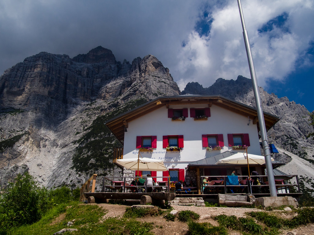
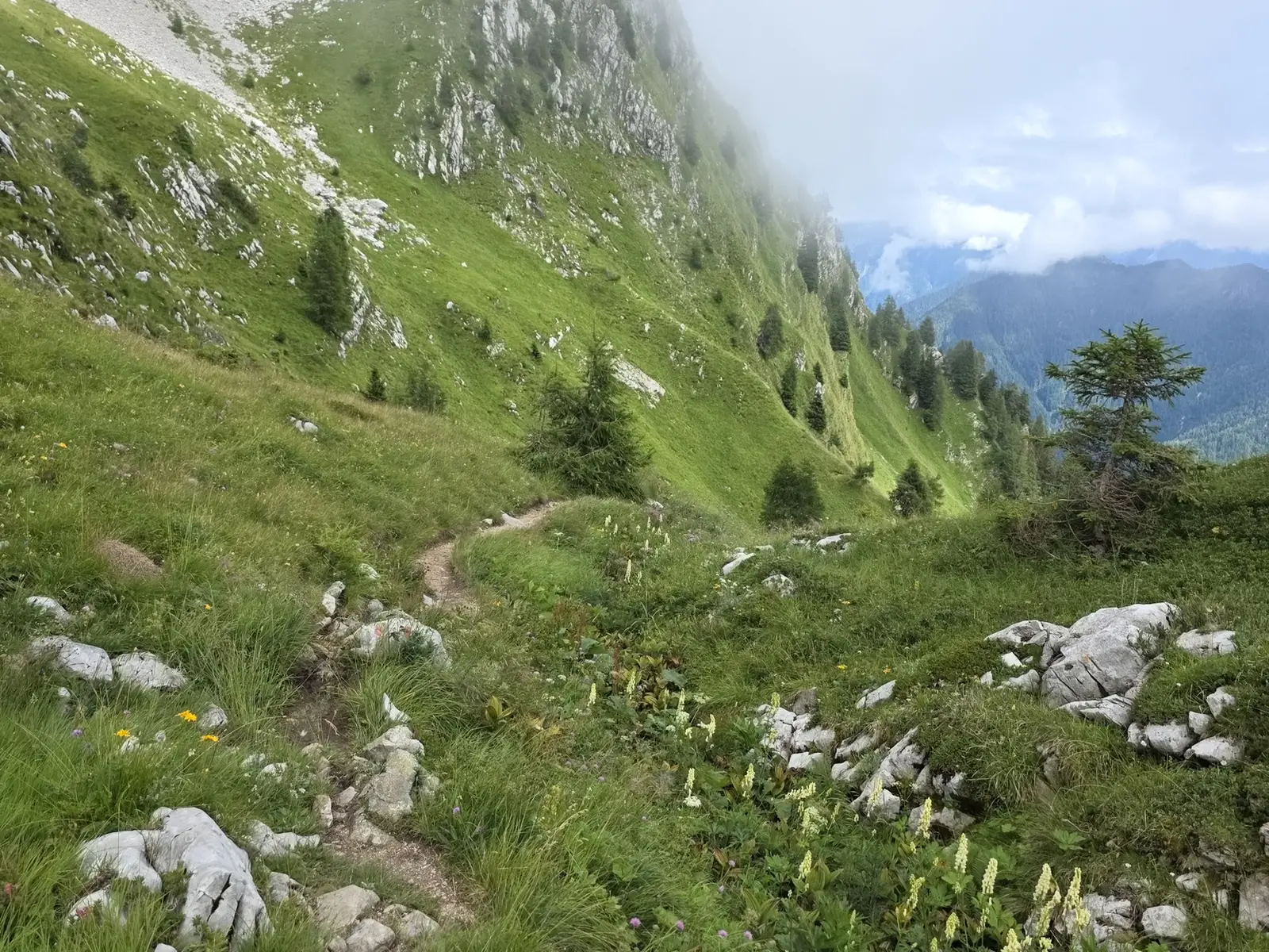

Hike from Rifugio Carestiato to Rifugio Pian de Fontana Vertical: 1,070 m up / 1,232 m down Distance: 18 km Time: 6–7 hrs The two map links give almost exactly the same path, but the Wikloc webpage adds a few hundred meter side trip to stop at Rifugio Sommariva al Pramperet on the way to Rifugio Pian de Fontana. (Lunch?) Another hiker's blog post: The penultimate day had arrived, the end was nearly in sight! We left the refuge early after a good breakfast and headed down the easy trail to the Passo Duran (1601m). A 2 km section on the road took us to the point where the trail enters a conifer woodland at Pote di Caleda Vecchia. We made are way up, steeply at times to gain Forcella Dagarei (1620m) and onward below the imposing Castello di Moschesin to Malga Moschesin (1800m). A short climb from here took us to the abandoned barracks at the top of Val Clusa, with a couple of short route options from here we opted to descend slightly and take the lower path to the Forcella del Moschesin (1940m). The decision had been made to stop at the Rifugio Pramperat (1857m) for a warming bowl of soup to complement our cheese and bread picnic, perfect! After lunch we retraced our footsteps back to the path junction, we headed south west on a gentle ascent to Portela del Piazedel (2097m) with fabulous views of Castello di Moschesin, Moiazza & Pale di San Martino. From here we entered a different world, we climbed through the barren & rugged landscape to Forcella de Zita Sud (2395m). The final sporting climb along the ridge to the col were an unexpected pleasure, with jaw dropping views down to the Val de Erbandoi. Our long descent to the refuge started here, easy at first via the wild and wonderful high mountain valley. The trail then plunges down into the valley below, with the refuge in view we descend the final section on incredibly steep terrain. We reach the welcoming Rifugio Pian de Fontana (1632m) in time for afternoon tea and biscuits, just wonderful!